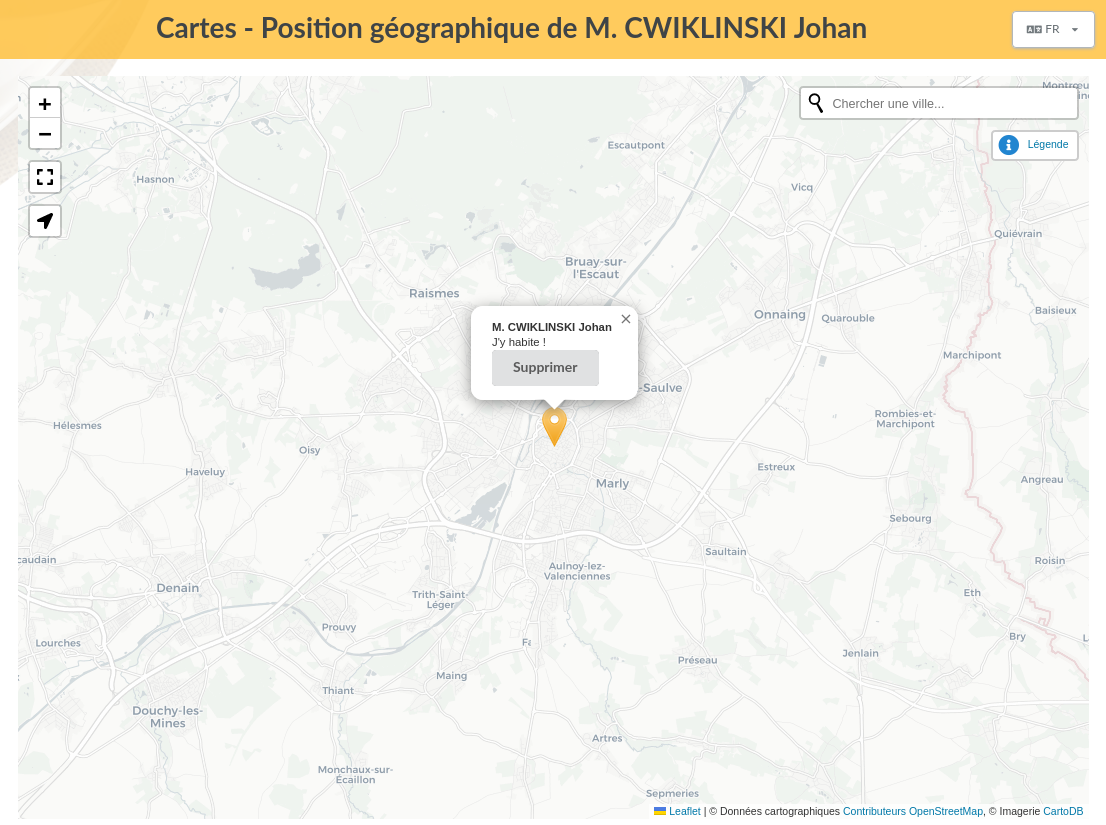
This plugin provides:
- possibility to store geographical coordinates for members (latitude and longitude),
- a public map displaying up to date members that have chosen to be publicly visible.
Installation
First of all, download the plugin:
Extract the downloaded archive in Galette plugins directory. For example, under linux (replacing {url} and {version} with correct values):
$ cd /var/www/html/galette/plugins
$ wget {url}
$ tar xjvf galette-plugin-maps-{version}.tar.bz2
Database initialisation
In order to work, this plugin requires several tables in the database. See Galette plugins management interface.
And this is finished; Maps plugin is installed :)
Background map
Note — The provider setting appeared in version 2.3.0.
The provider is a setting from Maps settings, in the Configuration menu.
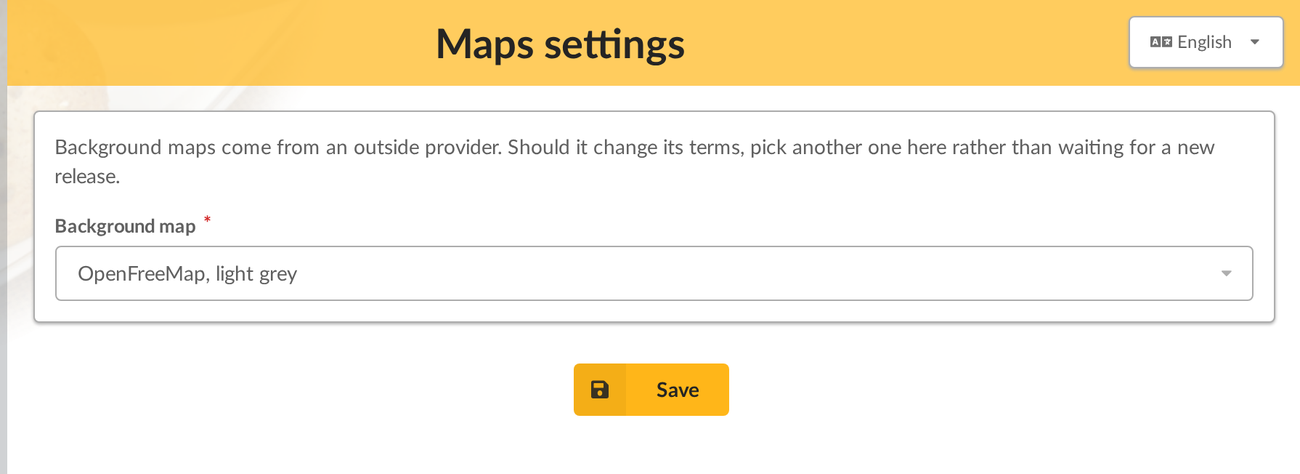
Several providers are proposed:
- OpenFreeMap, light grey — the default. Vector tiles, in a discreet grey that lets member markers stand out. No account, no API key, and the service can be self-hosted.
- OpenFreeMap, colours — the same service, rendered in full colour.
- OpenStreetMap — the standard rendering, from the OpenStreetMap Foundation servers.
- OpenStreetMap France and Humanitarian OSM Team — hosted by the OSM-FR association; the second one gives more weight to roads and facilities.
- OpenStreetMap Germany — German rendering, favouring local names.
- Esri, light grey — a very light grey rendering, close to what the plugin displayed before.
Your own values
Warning — Check the usage policy of the provider you choose. Most of them are run by associations or by volunteers, and they set conditions on the traffic they accept.
The last entry of the list, Your own values, replaces the proposed providers with an address of your own — a provider that is not listed, or your own tile server.
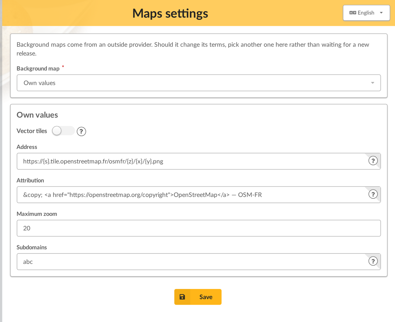
- Vector tiles tells the plugin what it is being given: a MapLibre style when ticked, classic raster tiles when not.
- Address is the style address for vector tiles, and the tiles address for raster ones, such as
https://tile.openstreetmap.org/{z}/{x}/{y}.png. - Attribution is the credit the provider requires. HTML is allowed. It is not a formality: data licences make it mandatory.
- Maximum zoom is the deepest zoom level the provider serves. Going past it displays empty tiles.
- Subdomains lists the letters the
{s}token of the address is replaced with, for instanceabc. Raster tiles only.
Positions precision
A member’s stored position is often their home address. The map does not show it as is: positions are snapped to a grid, so a marker lands near the member, not on their door.
The precision is a setting from Maps settings, in the Configuration menu:
- About 100 km, About 50 km, About 5 km — for a region, a département or a town;
- About 500 m — the default, a neighbourhood;
- About 50 m — a street;
- Exact position — no snapping, as the plugin behaved before.
The value is how far, at most, a marker may be from the stored position.
Snapping applies to visitors and to members, group managers included. Staff members and administrators see exact positions, and every member sees their own position as they stored it. The page used to set a member’s position is not concerned: it shows the exact position to the people allowed to open it.
When the map shows snapped positions, zooming stops at a level matching the precision, so that a marker does not seem to point at a precise address.
Plugin usage
When the plugin is installed, a group Maps is added to Galette menu when a member is logged in, which contains My location entry. This page allow member to store its location.
A Geolocalize button is also added when displaying a member, that allows administrators to set member coordinates.
Also, a Map entry is added in public pages list, that displays geolocalized members that are up to date. Administrators and staff members will see all members, while simple members and visitors will only see up to date public ones.
First of all, members will enter their location coordinates. Several options are provided:
- if town has been set in member information, a list of possible places will be proposed (via Nominatim online service),
- additionally, a search zone (provided from OpenStreetMap),
- and also a geolocalize button using browser capacities.
The search zone can be used when saving members location, and when displaying the maps.
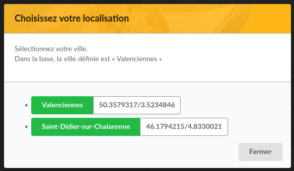
A member can define its location (with the precision he wants) on the map selecting one of the propositions:
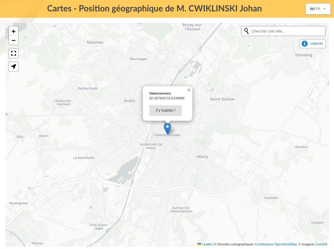
Using the geolocalization button will define its position from the browser:
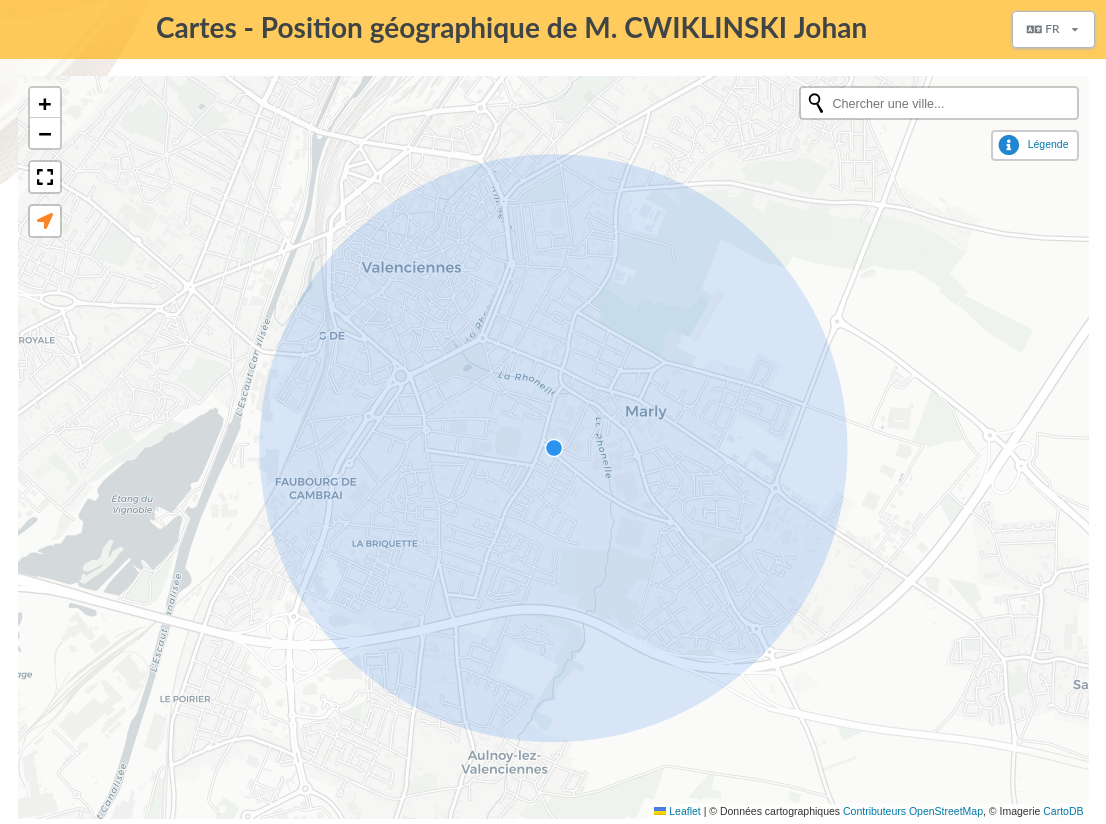
Then, member location is displayed on map, and can be removed: